Brits are bracing for a major chill this bank holiday weekend, with a dramatic UK temperature drop warning in full effect.
After days of sunshine and heat, a colder front is now sweeping in from the west.
This sharp drop follows a stunning warm spell, where temperatures soared to 28°C at Kew Gardens earlier this month.
Just days ago, Heathrow recorded 21.7°C, with highs of 25°C reported across parts of southern England.
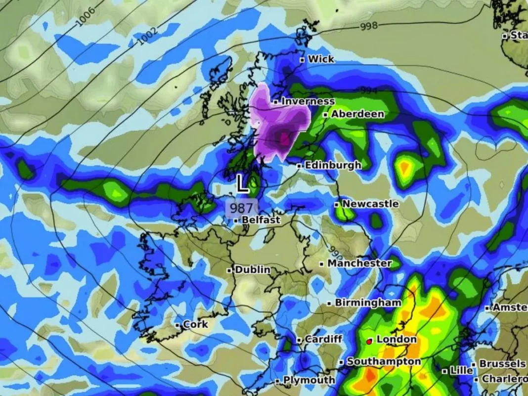
However, weather maps from Ventusky, based on MetDesk data, now show a deep green shade across the UK.
That change signals widespread cold conditions, with many areas seeing a 12°C plunge from earlier highs.
According to Met Office deputy chief meteorologist Mark Sidaway, the high pressure is finally weakening.
“We’ll now see more unsettled conditions, including showers and widespread cloud cover,” Sidaway explained.
By Sunday, May 25, expect daytime temperatures in single digits across much of the country.
Areas like North Wales and Northwest England will struggle to reach even 9°C by midday.
The UK temperature drop warning applies to most of England, Wales, and Scotland.
The Scottish Highlands, Midlands, and even parts of eastern England are expected to turn noticeably colder.
Maps show green and blue shades indicating the coldest zones, especially in Warwickshire, Northamptonshire, and Cumbria.
Rural areas may drop to 7°C, while heavy rain moves in from the Atlantic.
Sidaway added, “Weather systems will arrive by Friday, bringing rain and occasional strong winds across the weekend.”
By Sunday and Monday, many regions will experience sunshine and scattered showers.
Although the weekend won’t be a total washout, temperatures will remain well below the recent highs.
This change marks a clear break from the stable, warm pattern earlier in May.
Still, the UK temperature drop warning doesn’t mean a total return to winter.
Some dry spells and brighter moments are still possible through Bank Holiday Monday.
for more Nature news, stay tuned to London Pulse News.